Overview
Drill and geosteer your most complex high-angle and horizontal wells with the support of reservoir navigation and mapping services (RNS) from GaffneyCline energy advisory.
RNS takes a fit-for-purpose, multidisciplinary approach to well construction by leveraging:
- The precise, real-time drilling capabilities and advanced formation evaluation technologies of the broader Baker Hughes portfolio
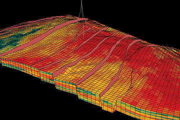
- Comprehensive pre-well planning and modeling that integrates predictive tool response modeling with a 3D geospatial earth model
- A proprietary, fully integrated 2D/3D logging-while-drilling (LWD) response modeling package with modeling algorithms for all Baker Hughes LWD tools
- Advanced hybrid inversions that support deep and ultra-deep azimuthal resistivity technologies with embedded quantifiable confidence analysis
- Ancillary applications that support advanced gas analysis and reservoir performance insights
The expert advice of our experienced RNS supervisors complements these dynamic, interactive software products. This integrated service approach helps reduce nonproductive time (NPT) and maximize production by keeping your wellbore in the pay zone.
Make more informed, real-time decisions
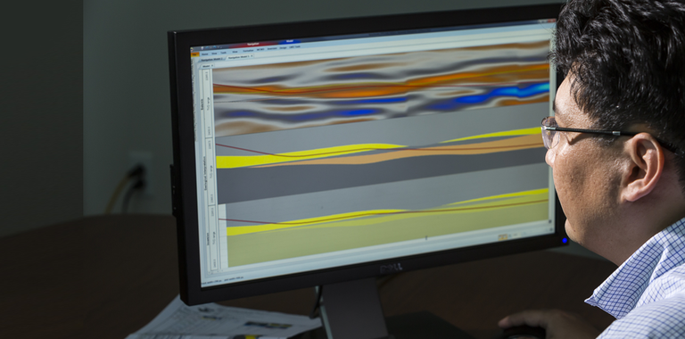
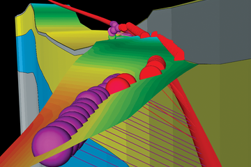
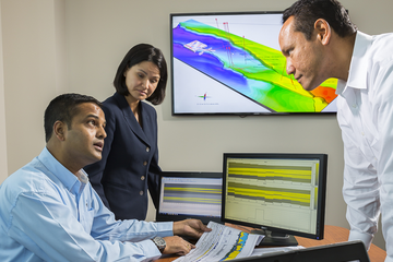
GaffneyCline energy advisory’s RNS supervisors dynamically link to a range of geological visualizations to allow for fast, interactive updates of your 3D models. During drilling, we detect remote boundaries in real time and update the models that describe and predict the environment ahead of the bit.
Such dynamic, real-time distance-to-boundary analysis and image interpretation give your domain and non-domain users the information they need to improve decision-making. The result: an optimized drilling program that meets your geosteering and geomapping objectives, maximizes reservoir contact, and improves well performance for the long term.
Contact your GaffneyCline energy advisory representative today to learn how we can help you navigate your reservoir and mapping challenges to keep your wells in the most productive zones.


