Highlights
Highlights
Benefits
- Gain sharper insights into near-wellbore geological and petrophysical reservoir properties
- Evaluate net pay more quickly and with greater accuracy
Applications
- Low-resistivity formations
- Highly deviated boreholes and thinly bedded intervals
- Shale gas and fractured basement evaluations
Overview
The GeoXplorer™ imaging service from Baker Hughes gives you high-resolution formation resistivity imaging in low-resistivity formations drilled with nonconductive mud systems. The resulting images open up a wealth of information to improve the accuracy of your near-wellbore geological and petrophysical reservoir evaluations.
Clearly identify net-pay and critical formation features
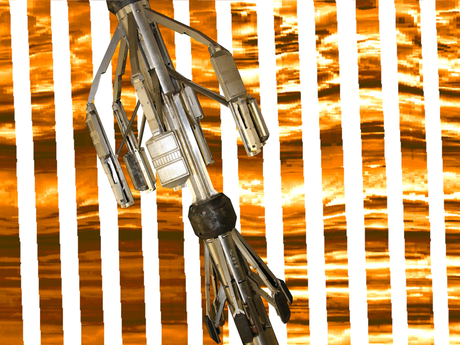
The GeoXplorer imaging service deploys high-resolution pads with 10 sensors mounted on six articulated arms. This configuration provides 60 micro-resistivity measurements with a vertical resolution of 0.8 in. (20 mm) and 79% borehole coverage in an 8.0-in. (20.3-cm) borehole. The six independently articulated arms and powered stand-off ensure optimal sensor-to-formation contact, even in highly deviated boreholes.
Use the high-resolution borehole images to identify a range of structural features in your formation, including:
- Bedding, fractures, and faults
- Stratigraphic features
- Borehole wall features such as breakout and drilling-induced fractures
The GeoXplorer imaging service’s high-resolution net-sand analysis—in conjunction with results from the 3DeX™ multicomponent induction service—provides you an accurate net-pay, even in thinly bedded intervals. The images also improve the positioning of fluid sampling or sidewall coring tools, such as the RCX™ (Reservoir Characterization eXplorer™), PowerCOR™, and MaxCOR™ services.
When deployed in combination with the UltrasonicXplorer™ service, the GeoXplorer imaging service can help analyze structural dip, fracture systems, depositional environments, borehole stability, and net-pay in your thinly bedded sequences. The simultaneous acquisition of both image datasets provides a more complete picture to improve the accuracy of your fracture evaluation. This is particularly important in shale gas or fractured basement evaluation.
Contact us today to learn how the GeoXplorer imaging service can enhance your resistivity imaging in low-resistivity formations.


